Many moons ago, I was on a van with my college Soils class, riding past farmland south of Athens. One of the students hailed from the Midwest. Surveying newly-tilled, rusty-red earth, she asked the professor, “Do you have any soil here?” All the southerners laughed, but it’s a fair question, and one with a depressing answer.
It’s been called “one of the most significant environmental disasters to occur in the state.” The evidence is all around, in forest and river, and indeed the consequences can be seen in how limited our choices of land use are today.
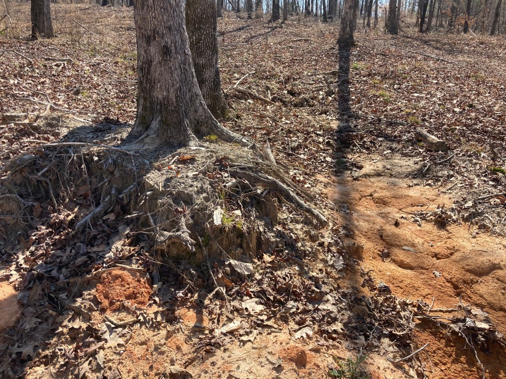
Most soil profiles have several distinct layers, or horizons. The O (organic) layer and A (surface or topsoil) layer contain most of the accessible minerals, organic material, water-storing pores, microbial life…everything that makes soil valuable for plant life. The Georgia red clay, synonymous with southern dirt, is the B or subsoil layer; it contains very little organic material and is stingier both with nutrients and water. In much of the south, and especially in the Piedmont, we simply have little to no topsoil. But this was not always the case.
Think back to the first half of the 19th century. The native peoples were swept out, and settlers opened the forests and savanna. The supply of land seemed inexhaustible, so it was deemed more important to wrest what one could from the soil than to tend it carefully. Cotton was the primary cash crop, and straight furrows were easier than rows that curved to follow the contour of the land. Rains came and washed away centuries worth of topsoil, hastening the decline of fertility and forcing farmers to abandon exhausted farms for new ground. By mid-century, many upland farms had lost their topsoil completely and farmers were trying to coax crops from subsoil. The problems compounded as the lost soil washed into waterways. Millponds filled with silt; rivers clogged up with earth, increasing flooding. There were some efforts to control erosion – contour farming and planting pines, for example – but war put those efforts on the back burner.
Subsequent decades follow a pattern of waning agriculture, a rise of forests, a clearing of forests, and a new rise of agriculture. Poor farmers trying to coax crops from even poorer land was the recipe for a cycle of poverty and destitution. In my lifetime I have seen the cycle more or less continue, with eroding fields planted in pines or left to grow wild; some of those stands have since been cleared again for agriculture or other developments. Erosion is still a pervasive issue.

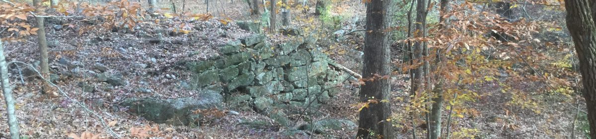
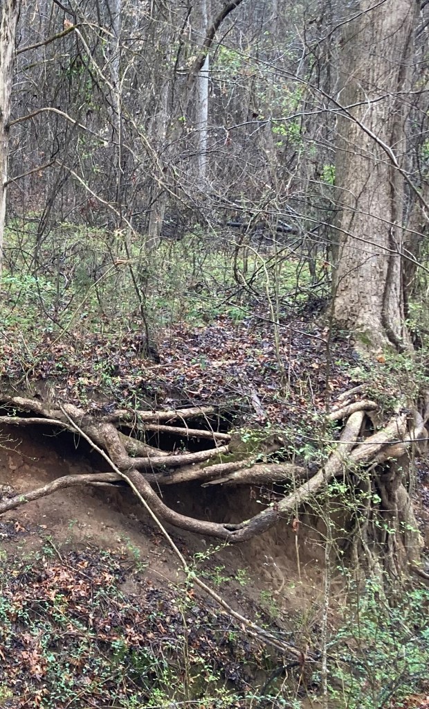
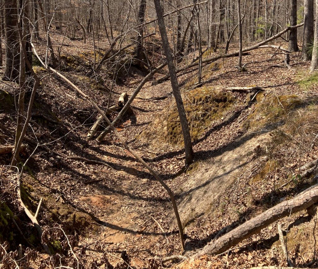
Take a look at this creek in the Georgia Piedmont. See the broad slabs of stones and smaller rocks in the creek? That’s likely the natural base level of the creek, about where it would have been two centuries ago. See the 10’+, nearly-vertical banks? Those are largely composed of earth that has eroded from the surrounding hills due to clearing, development and poor farming practices. Steep banks of silt such as these are unfortunately a common feature of creeks and rivers in much of Georgia.
I’ve been told that one reason for the University of Georgia’s location at the turn of the 19th century was the clear waters and abundant fishing on the Oconee River. Current students may be forgiven for assuming the steep banks and opaque brown water is the natural state of Piedmont rivers. Not that many years ago, crews dredged behind the dam at Whitehall Forest; 20 feet down into the muck, they came upon a sawn tree stump!
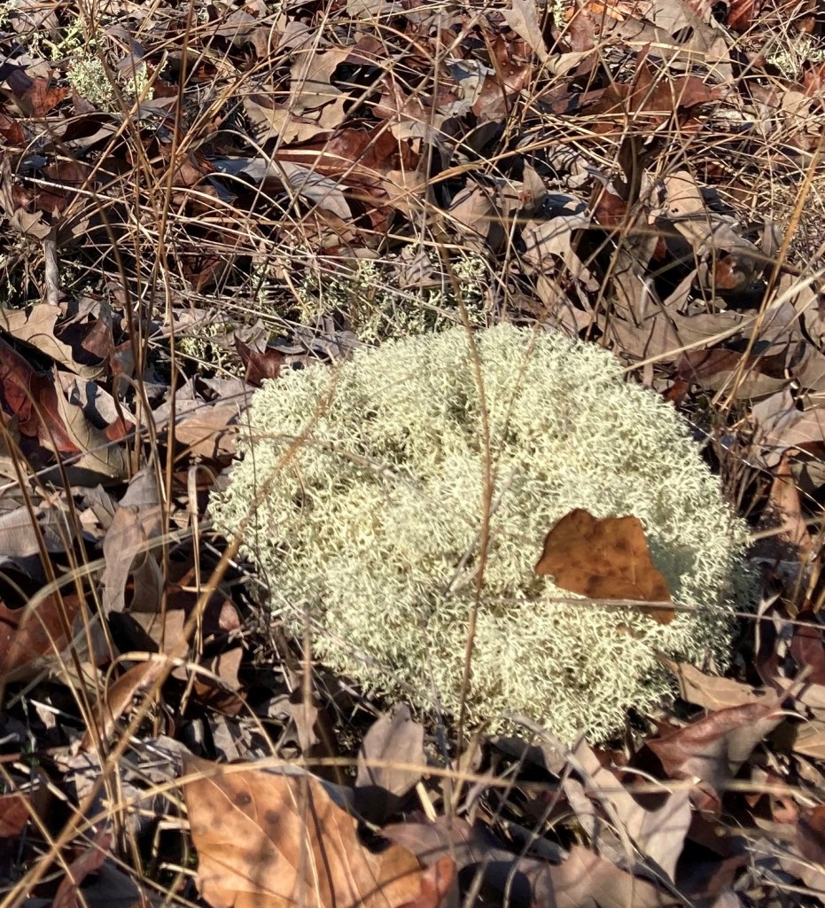
I drive past so much land with stubby, slow-growing pines or thickets of spindly sweetgums and scrawny oaks, with little on the ground beyond stubborn tufts of grass or reindeer moss – a lichen that even as a kid I learned to associate with poor soil. Across the land, gullies – some bandanged by leaves and brush, others bare gashes that continue to hemorrhage soil – remind us of the natural wealth lost through ignorance, indifference, or greed.
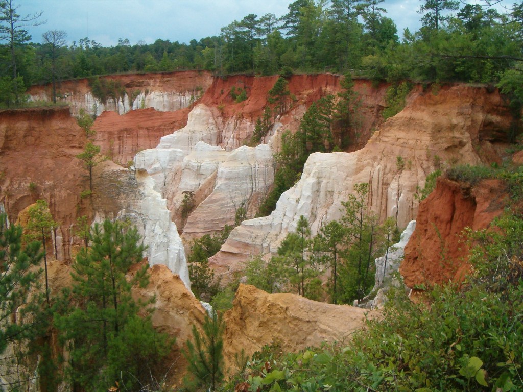
But I haven’t visited the most famous monument to this human-enabled catastrophe: Providence Canyon. What started in the mid-1800s as series of gullies a few feet deep have become a fan-shaped series of canyons spanning hundreds of acres and plunging up to 150 feet below ground level. The super-gullies continue to gnaw at the land around them, extending further every year. It is sometimes called the “Little Grand Canyon,” as if its existence was a point of pride and not the most visible scar of a curse our ancestors bequeathed to us.
I see turn-of-the-century farm houses, mobile homes, and dilapidated ranch style dwellings lining the backroads I travel. Around these homes are either pine stands or clearcuts, for the hard, gullied subsoil is neither fertile enough for seasonal crops nor (in some cases) level enough to run a tractor. The preponderance of political banners touting modern lost causes suggests to me where these folks stand on the subject of climate change. They are willfully ignorant of the effects that human irresponsibility will have on their descendants; yet I suspect that they are innocently ignorant of the impoverishment bequeathed to them by their own forebears.

You must be logged in to post a comment.